Log in
All resources
Create a design
33,048 Free Images of Waldseemüller Map
maps
grabados
cartography
cartografía
engraving
fondo antiguo
chalcography
calcografía
cartografía, mapas | cartography, maps
libros del siglo xviii
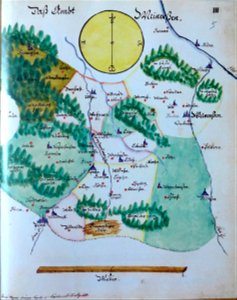
edemissen
meinersen
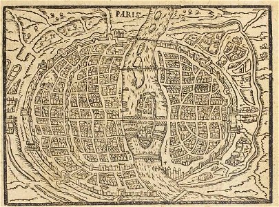
17th-century maps of paris
paris in the 16th century
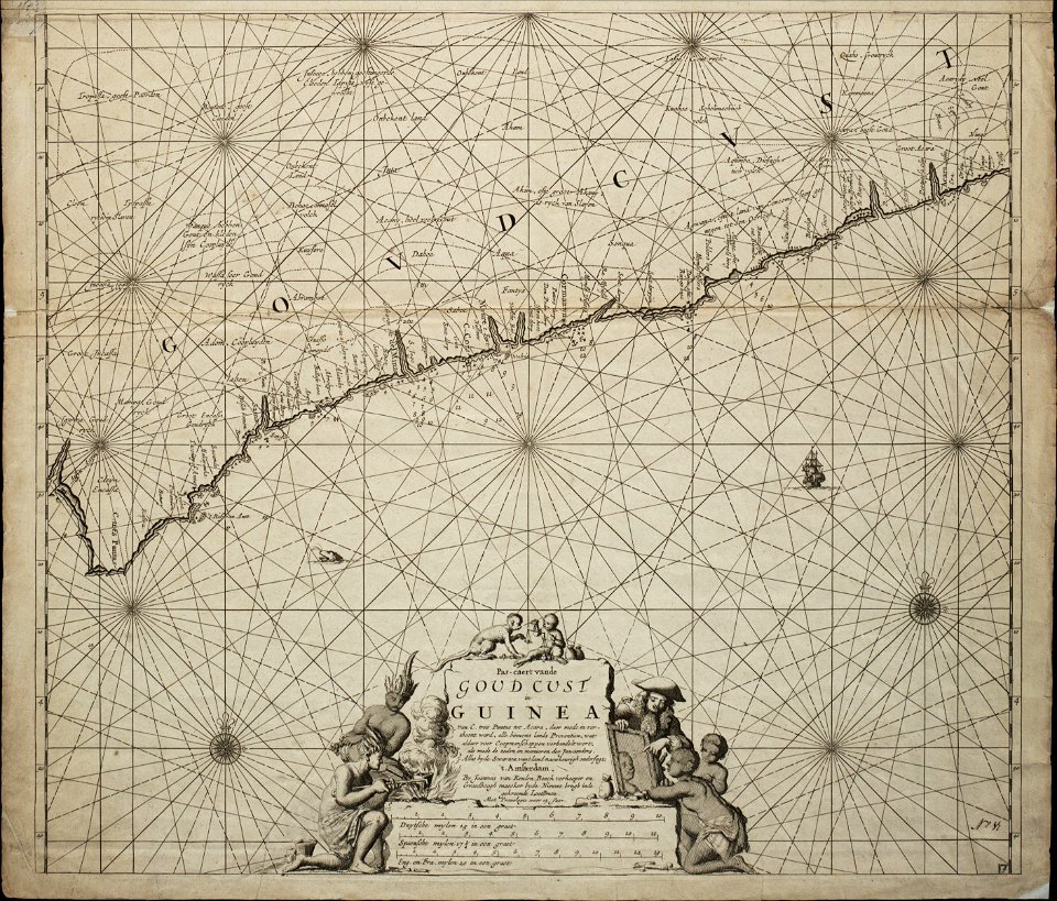
18th-century maps of africa
engravings by jan luyken
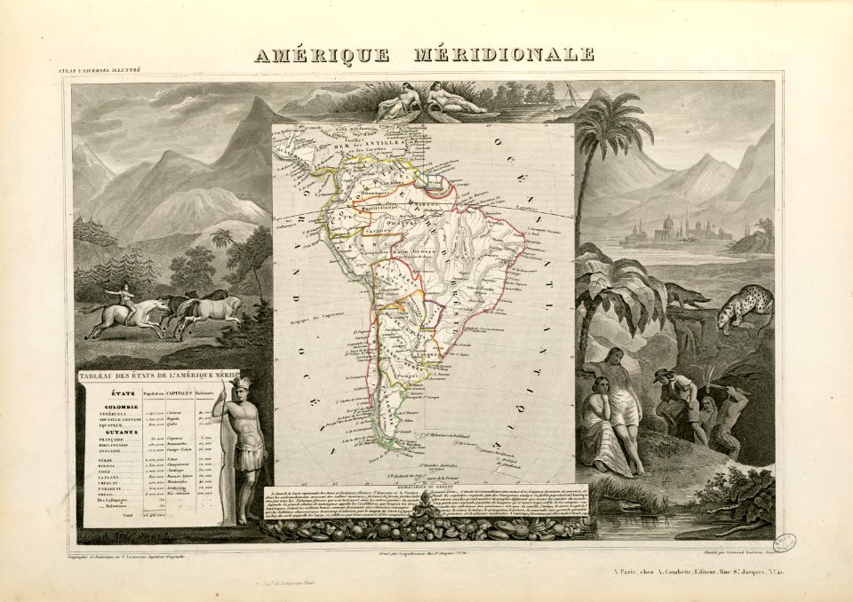
victor levasseur - maps of the world
historical images of arecaceae
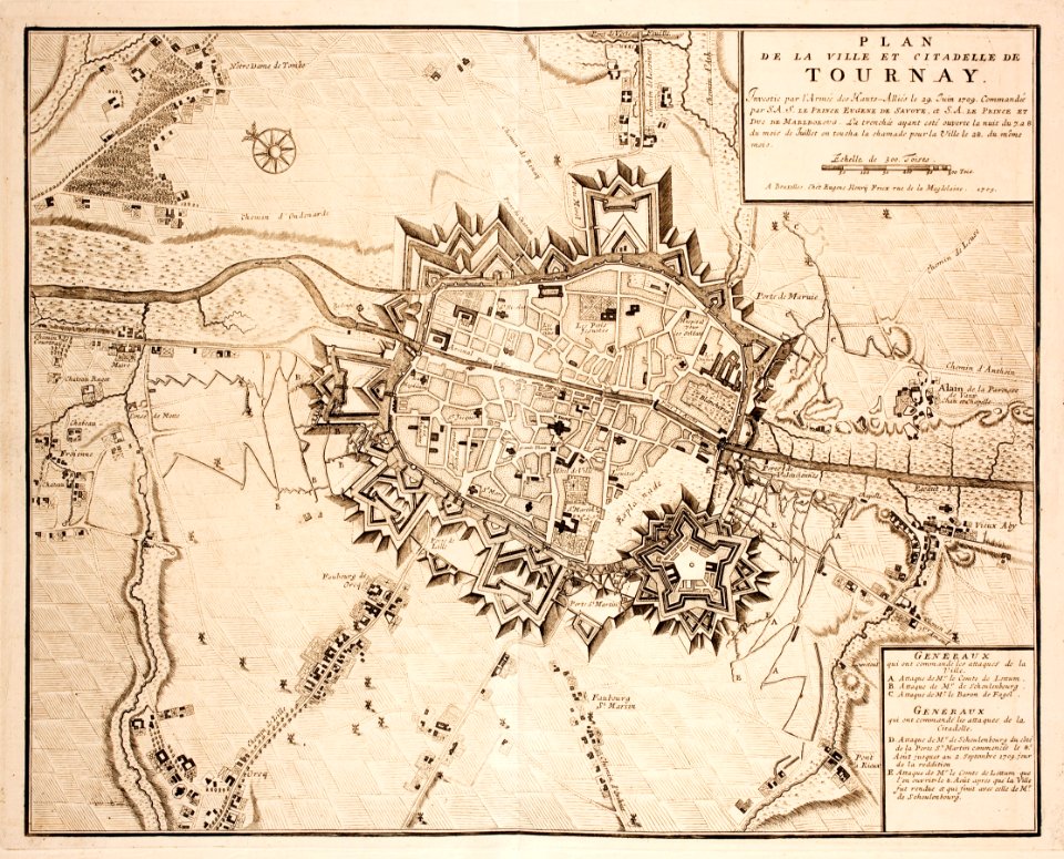
old maps of tournai
tournai
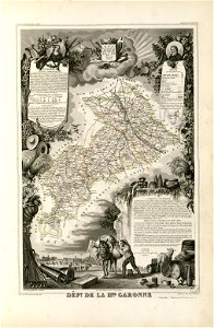
fonds ancely - bibliothèque municipale de toulouse - maps
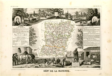
coats of arms of cities in mayenne
coats of arms of cities in haute-marne
charles-guillaume étienne
fonds ancely - bibliothèque municipale de toulouse - maps
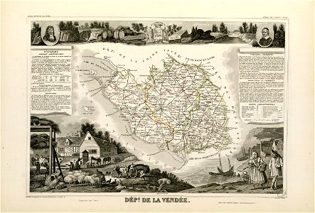
louis-marie de la révellière-lépeaux
coats of arms of rhône
louis gabriel suchet
fonds ancely - bibliothèque municipale de toulouse - maps
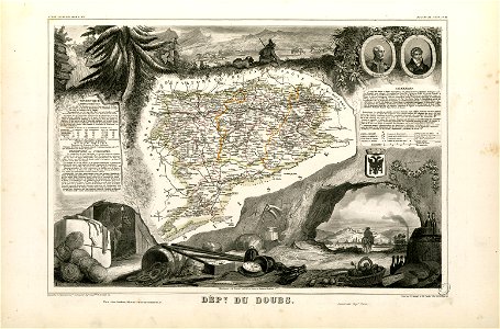
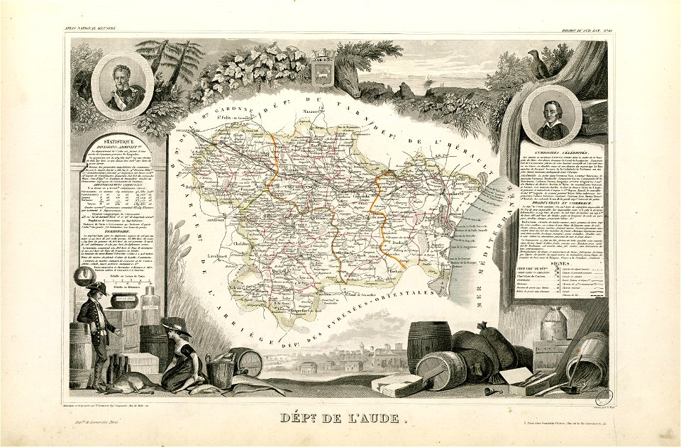
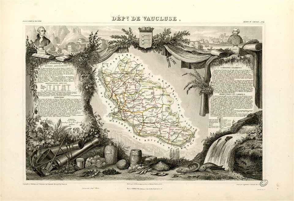
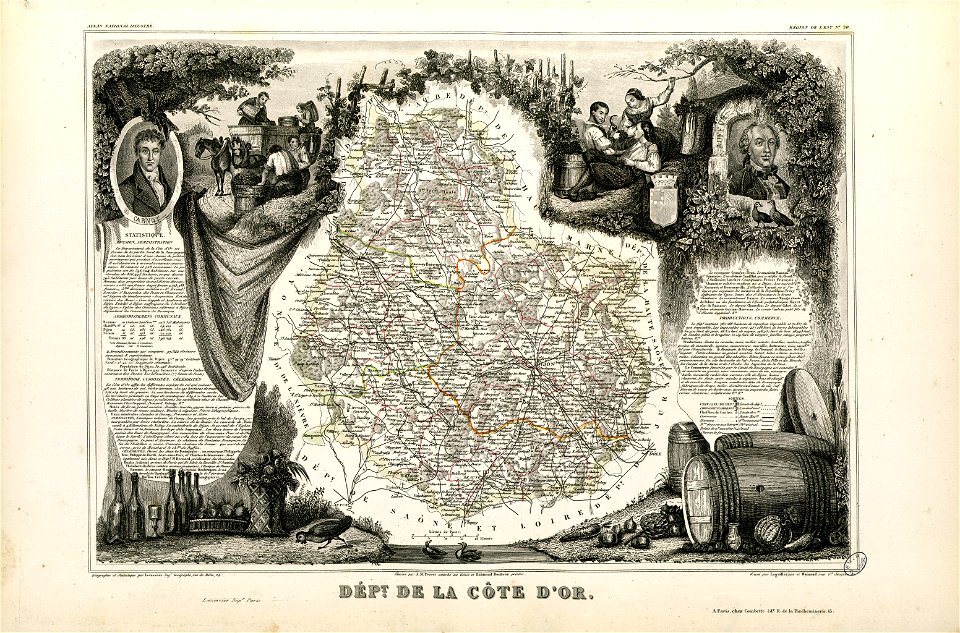
victor levasseur - maps of france
fonds ancely - bibliothèque municipale de toulouse - maps
coats of arms of cities in doubs
roch-ambroise cucurron sicard
frédéric-auguste laguillermie
history of mansfeld land
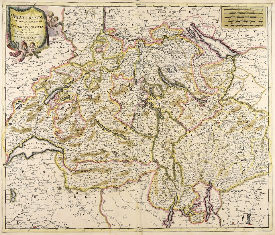
gerard valck
collections de la bibliothèque nationale et universitaire de strasbourg
maps of strasbourg in the 18th century
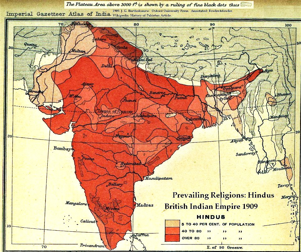
old maps of the indian subcontinent
hindus
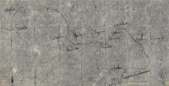
drawings by john robert cozens in the yale center for british art
old maps of lazio
maps
city
maps
city
maps
city
maps
city
maps
city
maps
city
maps
city
maps
city
landscape
maps
illustration
maps
illustration
maps
illustration
maps
illustration
maps
illustration
maps
cartography
maps
cartography
maps
cartography
maps
maps
city
maps
city
cartography
maps
cartography
maps
cartography
maps
berries
maps
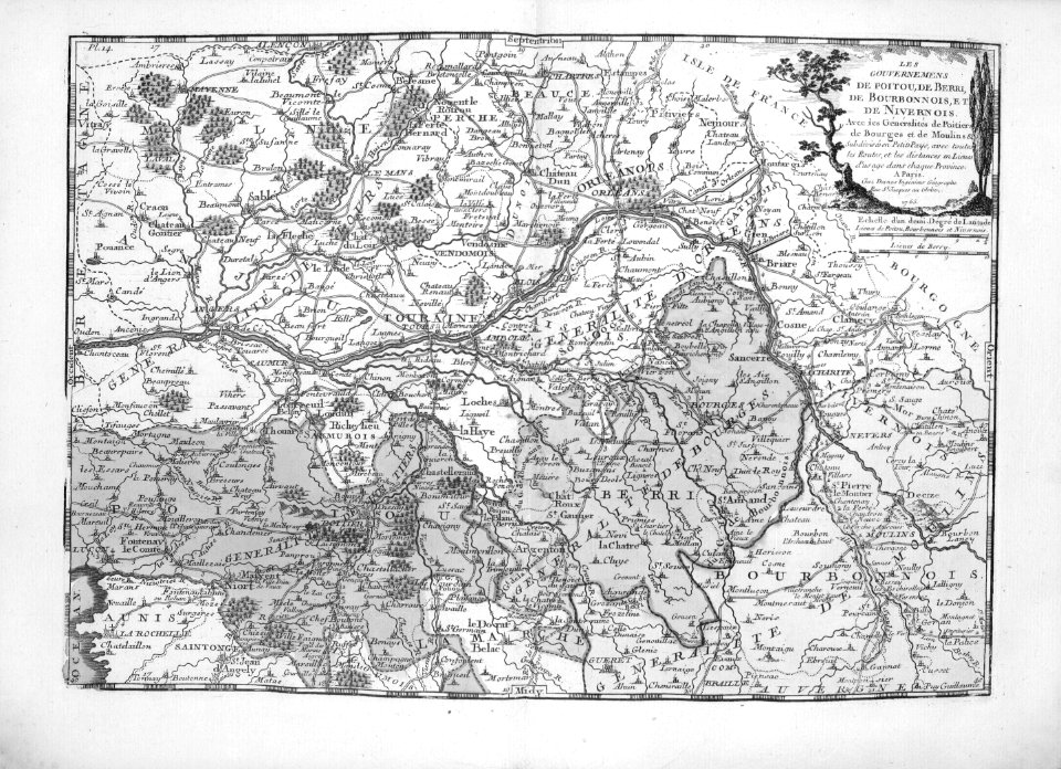
cartography
maps
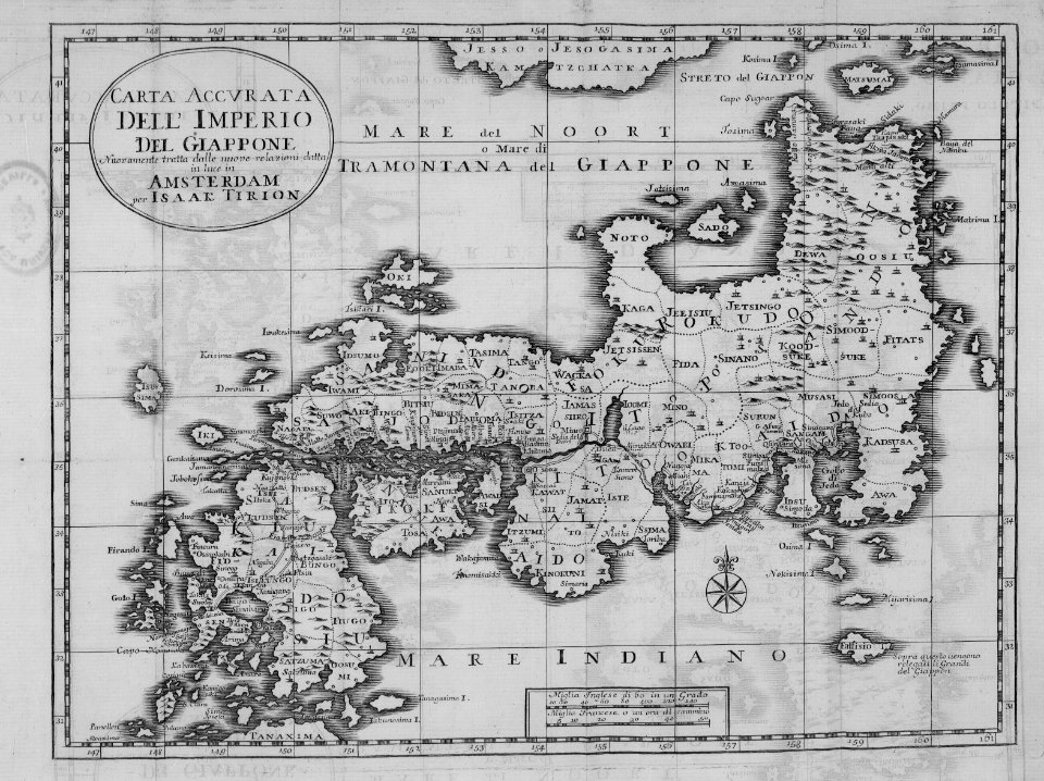
japan
maps
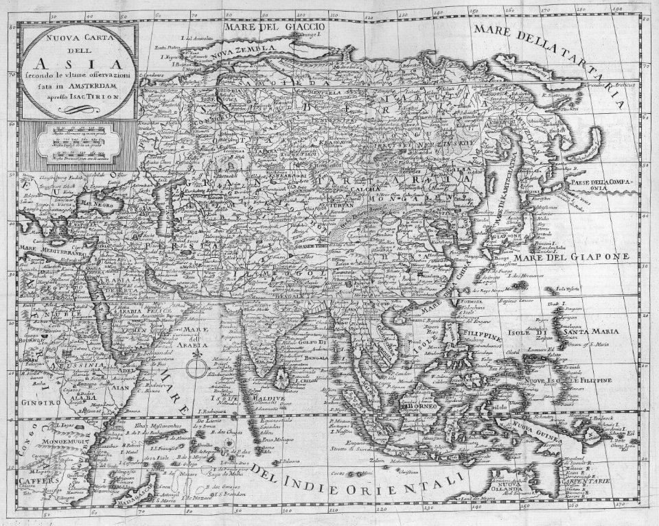
cartography
maps
cartography
maps
cartography
maps
cartography
maps
cartography
maps
cartography
maps
cartography
maps
cartography
maps
cartography
maps
cartography
maps
cartography
maps
travel
maps
travel
maps
travel
maps
travel
maps
library
maps
africa
maps
cartography
maps
cartography
maps
cartography
maps
cartography
maps
cartography
maps
cartography
maps
cartography
maps
cartography
maps
cartography
maps
cartography
maps
cartography
maps
cartography
maps
cartography
maps
cartography
maps
maps by willem and johannes blaeu
hudson valley
carte de france by guillaume delisle (1721)
philippe buache
fort ticonderoga
john burgoyne
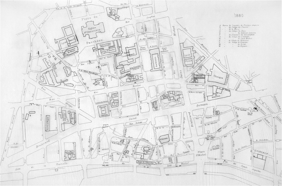
lithographs of paris
grand châtelet
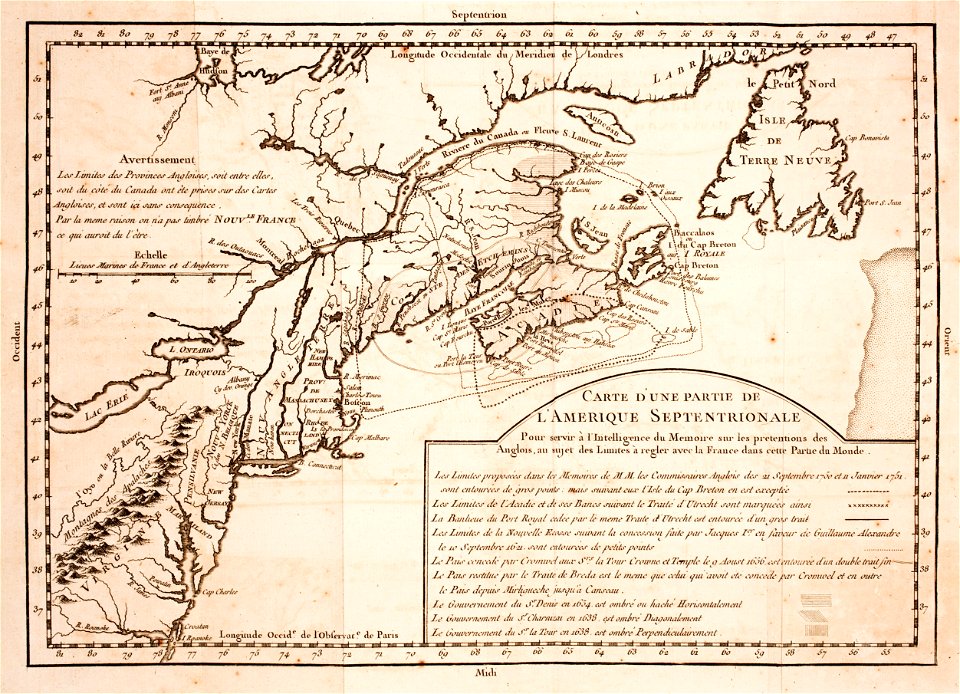
prints from mémoires des commissaires du roi et de ceux de sa majesté britannique at the peace palace library
jean ignace de la ville
merksem
lillo
maps made in the 17th century
gerard valck
dutch 18th-century prints in the rijksmuseum amsterdam
hendrik de leth
coats of arms of cities in aude
coats of arms of aude
coats of arms of cities in vaucluse
works after joseph vernet
old maps of côte-d'or
lazare carnot
1867 engravings
new york city
lithographs of paris
université de paris
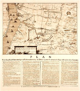
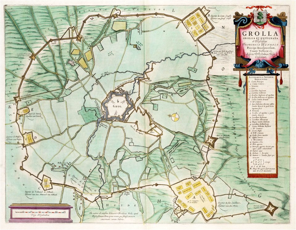
circumvallatielinie (groenlo)
coats of arms on maps
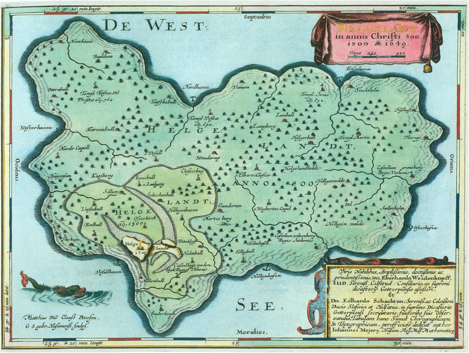
helgeladt in annis christi 800
1300 & 1649
maps made in the 18th century
gerard valck
maps made in the 18th century
gerard valck
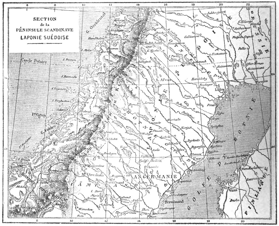
19th-century maps of sweden
sweden in the 1850s
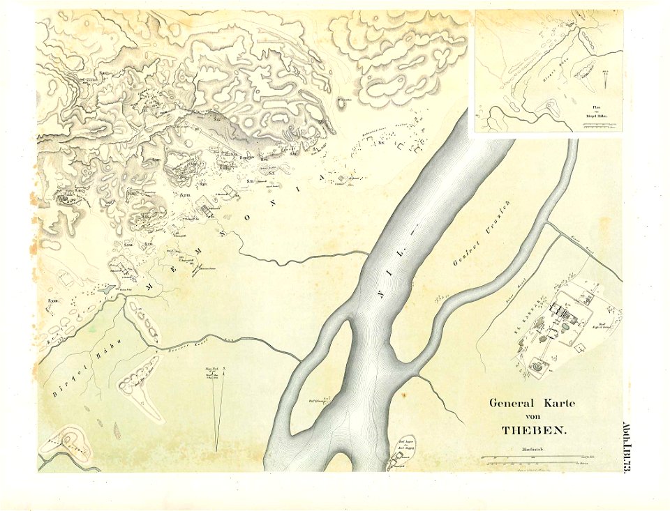
karnak temple complex
thebes
maps made in the 17th century
old maps of alsace
maps made in the 17th century
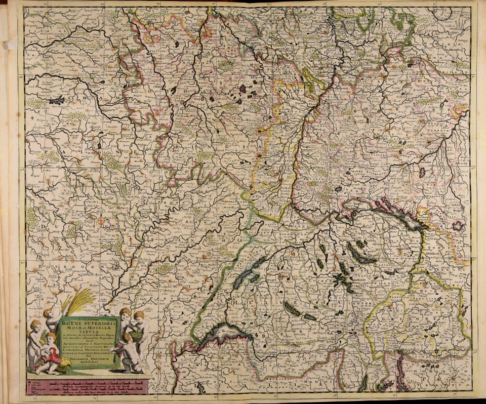
jan janssonius
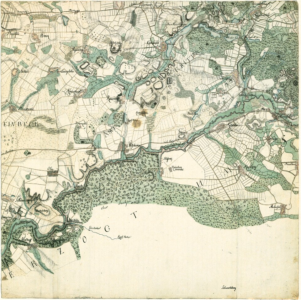
braunschweig in the 1880s
old maps of braunschweig
grand
bill
cornell university library
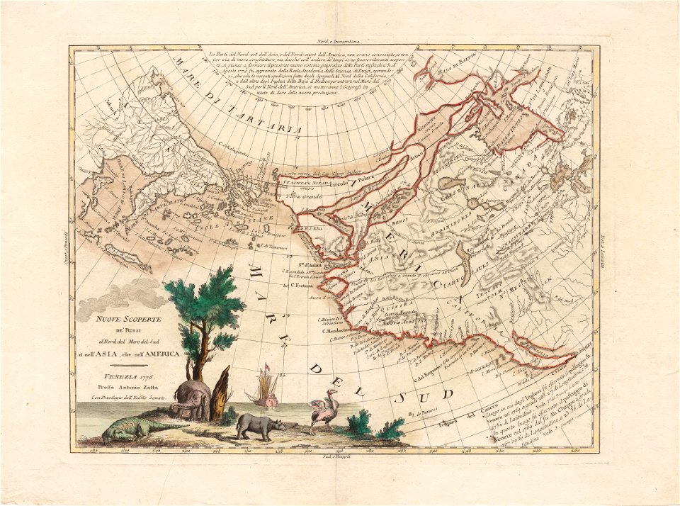
north pacific
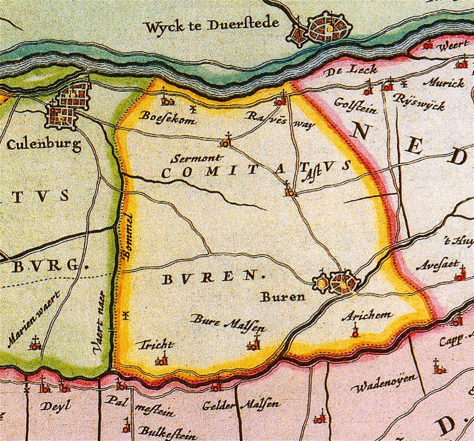
old maps of gelderland
gelderland
maps made in the 17th century
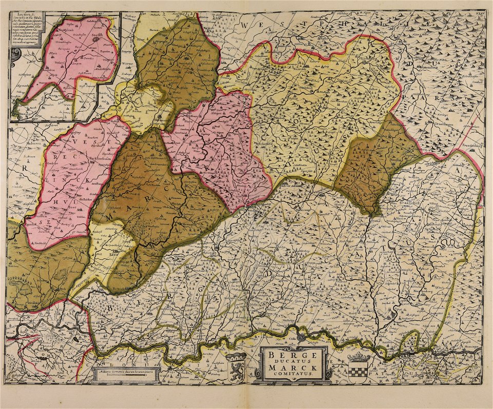
maps of the county of mark
maps made in the 17th century
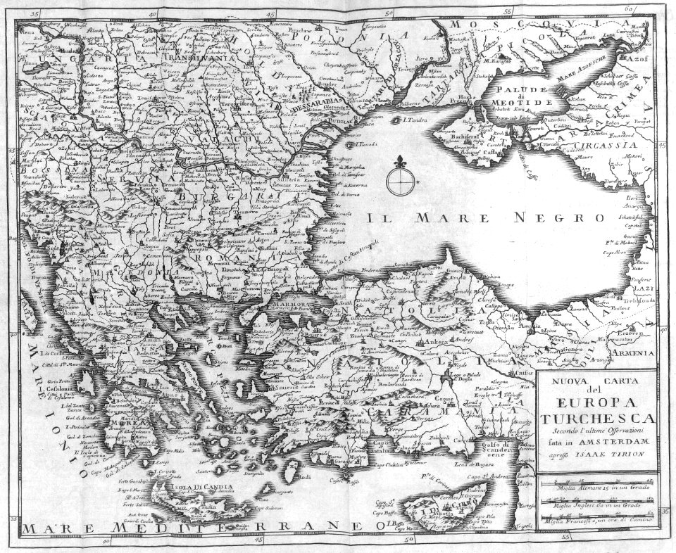
old maps of europe
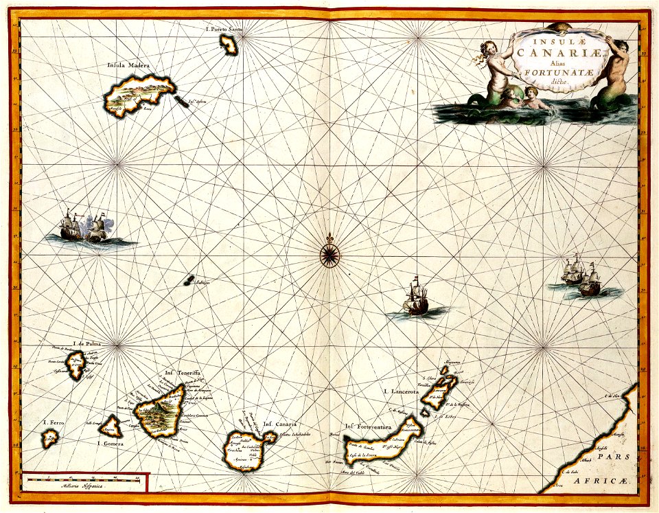
old maps of the canary islands
1667
9201 - 9300 of 33,048
Next page
/ 331